

Over the Christmas break I decided to set myself the challenge of designing hypothetical flags for some of the main towns and villages of the Black Country.
My initial research on the topic told me that five places in the Black Country already had existing official flags: Bloxwich, Finchfield, Kingswinford and Willenhall. This meant there were quite a few flagless places to include in the project!
When I began I didn’t quite appreciate just how many parts of the Black Country there were!
I tried to cover as many places as possible, trying to focus on those areas which had a long history and/or a strong sense of identity. If you think I’ve missed anywhere important, please let me know in the comments below.
Recently more and more communities are designing and adopting their own official flags as a way of giving their neighborhood a visual identity or branding. If this post makes other communities in the Black Country consider officially adopting a flag, or if it prompts other people to attempt their own alternative designs, that would be brilliant! These flags I’ve devised are just one potential idea, I’m sure there are lots of budding flag designers with better ideas out there.
When designing a flag for a place I considered various things – such as the history of the place, the meaning of the place name, important historical people, local landmarks and buildings, natural features and even sports teams.
Some of the symbols and colours that make up the flags were given a lot of thought. Others were just chosen on a whim because I felt like it. Some of them I spent a substantial amount of time on, while I’m afraid some of them were rather ‘phoned in’.
If you would like to download and use these flags for any purpose please feel free to do so. I’d love to hear of any creative uses you find for them!
I’ve attempted to describe the reasoning behind each flag below.
ALDRIDGE
Aldridge was an ancient parish in the county of Staffordshire. The parish contained two townships – Aldridge and Great Barr. Aldridge became an Urban District in 1894. This merged with Brownhills in 1966 to form Aldridge-Brownhills UD, and then became part of the Metropolitan Borough of Walsall in 1974.
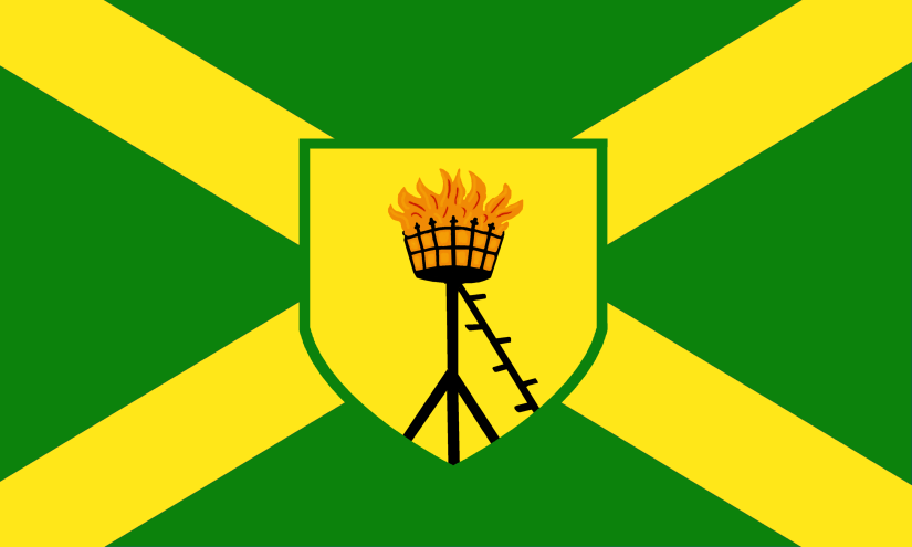
The Aldridge flag is based on the coat-of-arms of the former Aldridge-Brownhills Urban District Council which you can see here: https://www.heraldry-wiki.com/heraldrywiki/wiki/Aldridge-Brownhills
The image in the centre shield is a “Beacon Sable enflamed proper”. The beacon was used as a device by the former Aldridge UDC and may represent the nearby Barr Beacon.
The colours are also taken from the coat-of-arms, and the green represents the extensive green belt while the yellow represents “the wealth, growth and vigour” of the district.
AMBLECOTE
Amblecote was a township in the ancient parish of Oldswinford. While most of Oldswinford parish was in the county of Worcestershire, Amblecote was unusual in that it was in the county of Staffordshire. In 1845 Amblecote became a separate parish and in 1898 became an Urban District (at the time, the smallest Urban District in England). In 1966 Amblecote was divided between Brierley Hill and Stourbridge and in 1974 became part of Dudley Metropolitan Borough.
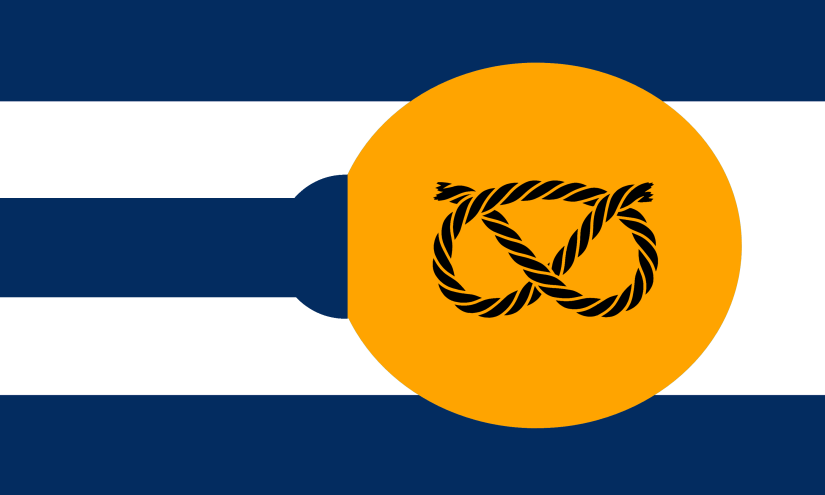
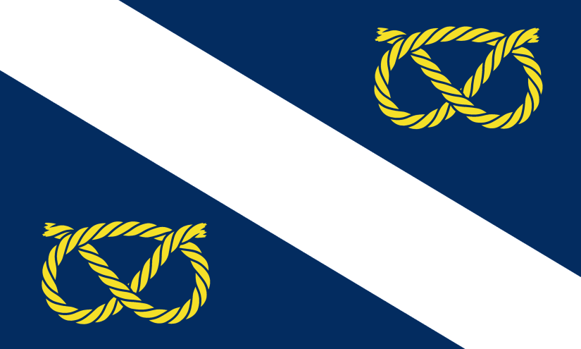
The flag represents the glass-making industry that was important in the village, while the Staffordshire knot recognises the area’s historic (and unusual) location within Staffordshire. The blue and white stripes are taken from the coat of arms of the Grey family of Enville, who used to own the manor.
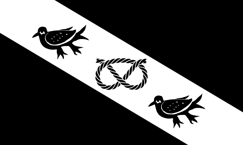
BEARWOOD
Bearwood is a distinct area within Smethwick, which was once part of the ancient parish of Harborne in the county of Staffordshire. Over the years, additional areas have been added to Bearwood which were previously in the historic counties of Worcestershire, Shropshire and Warwickshire.
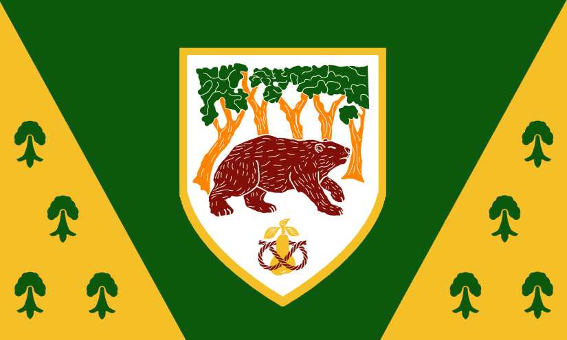
The bear and trees image on the flag is taken from a plaque on the side of the TC Hayes building on Sandon Road, which historically marked the boundary between Bearwood and Birmingham. You can see a photo of the plaque here.
As well as being an obvious reference to the name of the area, the bear on the flag can also be taken as a reference to the bear symbol which represents Warwickshire.
The tree symbols represent the various references to woods and trees in Bearwood such as Warley Woods, Lightwoods and the Three Shires Oak (which once stood at the boundary between the counties of Staffordshire, Worcestershire and Shropshire). The design of the symbols is inspired by the design of the Erminois and diagonal sections shown on the Shropshire Flag.
The pear with a knotted rope represents the pear of Worcestershire’s Flag and the Stafford Knot of Staffordshire’s Flag.
BENTLEY
Bentley was a township of the ancient parish of Wolverhampton in the county of Staffordshire. In 1894 it became part of Darlaston Urban District until 1966 when it became part of Walsall Metropolitan Borough.
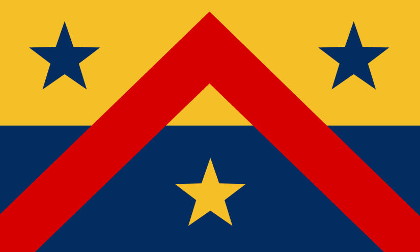
The flag is based on the coat of arms of the Lane family who onced owned Bentley Hall. In 1651 King Charles II took shelter with the Lane Family in Bentley Hall while attempting to escape to exile during the English Civil War.
BILSTON
Bilston was a township in the ancient parish of Wolverhampton in the county of Staffordshire. Bilston became an Urban District in 1894, and became a Municipal Borough in 1933. In 1966 it was incorporated into Wolverhampton.
The Bilston flag is based on the coat-of-arms of the former Bilston Urban District Council which you can see here: https://www.heraldry-wiki.com/heraldrywiki/wiki/Bilston This in turn is based on the arms borne by Sir Walter de Bilston, a local landholder.
The central image is a Stafford Knot, which is flanked by two Martlets – a mythical bird without feet which never roosts from the moment of its drop-birth until its death-fall. It is a compelling allegory for continuous effort.
BLACKHEATH
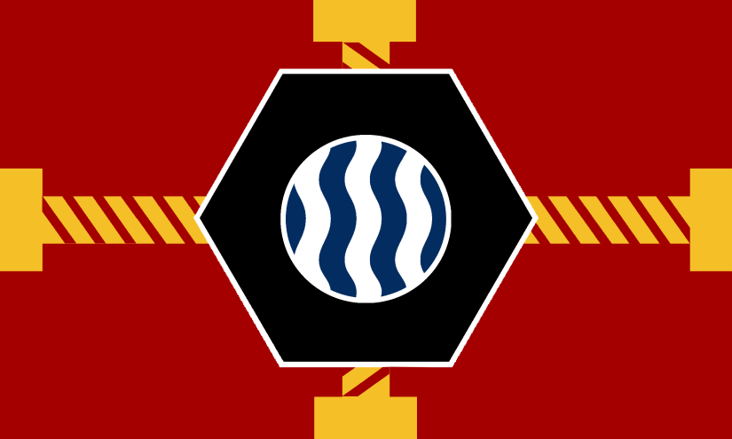
Blackheath was a village in the ancient parish of Rowley Regis in Staffordshire. Rowley Regis became an Urban District Council in 1894 and Municipal Borough in 1933. In 1966 it became part of the new Worcestershire county borough of Warley, which itself became part of the metropolitan borough of Sandwell in 1974.
The flag includes nuts and bolts to represent industry and is a specific reference to the ‘Admiral’ brand bolts and nuts manufactured at the Excelsior Works. The image in the centre is a waterfall – a reference to the nearby Waterfall Lane. The colours of the flag echo those of the Rowley Regis flag.
BLAKENALL HEATH
Blakenall Heath was a small village in a largely uninhabited common in the township of Bloxwich in the ancient parish of Walsall in the county of Staffordshire.
The flag is based on the colours and badge of the former Blakenall Town FC.
BLOXWICH
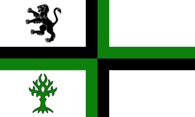
Bloxwich was a township within the ancient parish of Walsall in the county of Staffordshire.
The Bloxwich flag was designed by Julie Hikins and was officially adopted in 2017 following a popular vote. https://www.flaginstitute.org/wp/flags/bloxwich-flag/
The cross in black and green, symbolises the town’s industry and green spaces. The lion represents the Bloxwich Lion which once escaped to go wandering round the town. The tree with crossed central branches symbolises the story of the local wishing tree.
BRADLEY
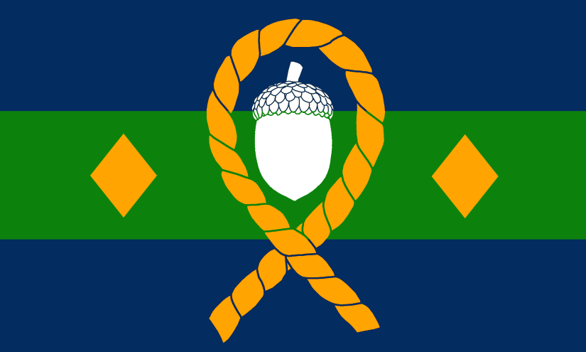
Bradley (or Brierley) was a village in the ancient parish of Sedgley in the county of Staffordshire. In 1894 it became part of the Coseley Urban District. In 1966 Coseley was divided between the County Boroughs of Dudley, Wolverhampton and West Bromwich.
The flag represents the Wednesbury Oak Loop canal arm which loops around the north of the village. The diamonds represent the former coal mining industry of the area.
BRIERLEY HILL
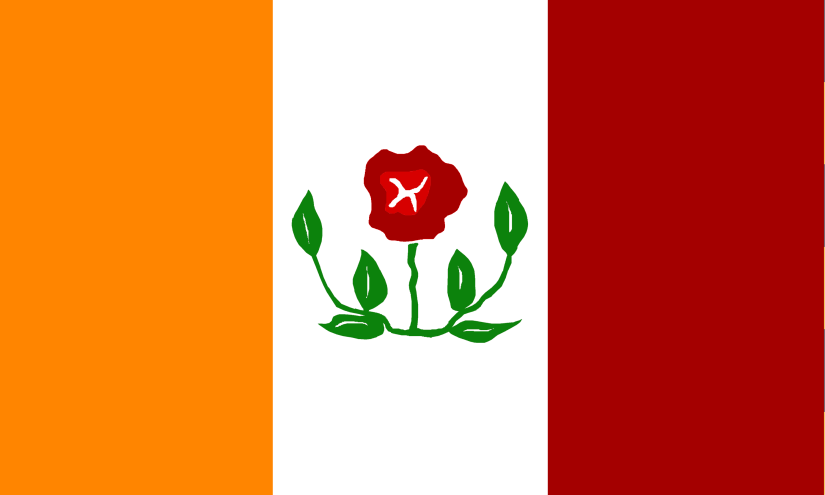
Brierley Hill was originally part of the ancient parish of Kingswinford in the county of Staffordshire. In 1894 Brierley Hill became an Urban District (including the villages of Brierley Hill and Pensnett). It was greatly expanded in 1934, when it took in the Quarry Bank and Kingswinford districts. In 1966 it was incorporated into the County Borough of Dudley.
The flag is based on the coat-of-arms of Brierley Hill Urban District Council which you can see here: https://www.heraldry-wiki.com/heraldrywiki/wiki/Brierley_Hill
The briar rose in the centre of the flag plays on the name of the area. The colours are taken from the town coat-of-arms.
BROWNHILLS
Brownhills was historically part of the ancient parish of Norton Canes in the county of Staffordshire. Brownhills became an Urban District in 1894 before merging with the Aldridge UD in 1966 to form Aldridge-Brownhills UD. It became part of the County Borough of Walsall in 1974.
The flag is based partly on the coat-of-arms of the former Aldridge-Brownhills Urban District Council which you can see here: https://www.heraldry-wiki.com/heraldrywiki/wiki/Aldridge-Brownhills
It takes the element of the ‘brown hills’ from there. The pickaxe is to represent the area’s connection with mining, as well as the statue of Jigger, the Brownhills Miner.
BUSHBURY
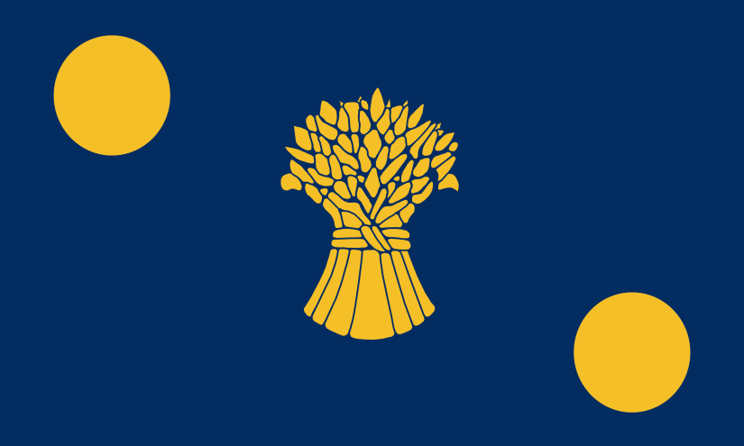
Bushbury was a township within the larger ancient parish of Bushburyin the county of Staffordshire. The parish also included the township of Essington. Bushbury became part of Wolverhampton County Borough in 1927.
The flag is based on the coat of arms of the Grosevenor family who used to own the manor. The wheat sheaf (azure garb or) represents the area’s agricultural past.
CLAYHANGER
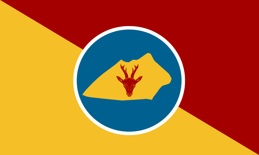
Clayhanger was a village in the ‘Foreign’ of the ancient parish of Walsall in the County of Staffordshire.
The flag represents the fact that the village is commonly referred to as an island as when entering by road you have to cross over water (the looping Wyrley and Essington Canal and the Ford Brook) in order to reach it. The roe deer represents the proximity to Cannock Chase and the tendency for deer to turn up in the area.
COSELEY
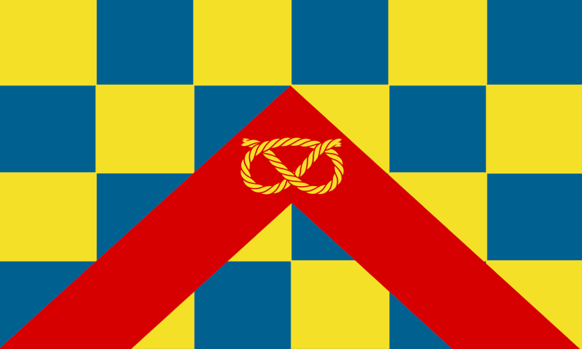
Coseley was part of the ancient parish of Sedgley in the county of Staffordshire. In 1894 the parish of Sedgley was split in two and Coseley became part of the Coseley Urban District which also included the villages of Bradley and Ettingshall. Coseley was incorporated into Dudley in 1966.
The flag is based on the coat-of-arms of the former Coseley UDC which you can see here: https://www.heraldry-wiki.com/heraldrywiki/wiki/Coseley
The chequers are from the arms of the Ward family, who held the Manor, and the red chevron and Stafford Knot are from the arms of the Staffordshire CC.
CRADLEY
Cradley was a township within the large ancient parish of Halesowen in the county of Worcestershire. Halesowen was incorporated in Dudley in 1974.
The flag was inspired by the badge of the football team Cradley Town FC as well as the town’s historic nail and chain-making indistries.
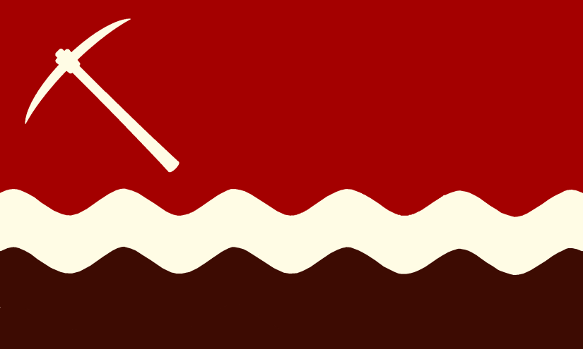
CRADLEY HEATH
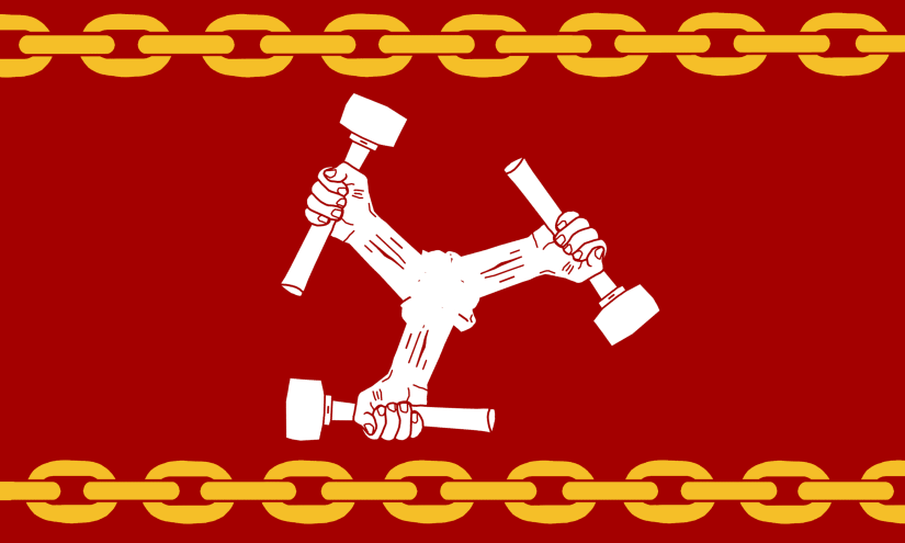
Cradley Heath was part of the ancient parish of Rowley Regis in the county of Staffordshire. Rowley Regis became an Urban District Council in 1894 and Municipal Borough in 1933. In 1966 it became part of the new Worcestershire county borough of Warley, which itself became part of the metropolitan borough of Sandwell in 1974.
There isn’t a separate crest for Cradley Heath so this flag instead represents the industry of the area, which included chain making and nail making. The arm with the hammer is a reference to the crest of the Cradley Heathens speedway team.
DARLASTON
Darlaston was an ancient parish in the county of Staffordshire. In 1894 Darlaston Urban District was formed, which also included the villages of Bentley and Moxley. In 1966 Darlaston became part of Walsall County Borough.
The flag is based on the coat-of-arms of the former Darlaston UDC, which you can see here: http://www.historywebsite.co.uk/articles/Darlaston/War.htm
The image is a Stafford Knot. I couldn’t find a coloured version of the coat-of-arms, so the colours are taken from the badge of Darlaston Town FC.
DUDLEY
Dudley was an ancient parish in the county of Worcestershire.
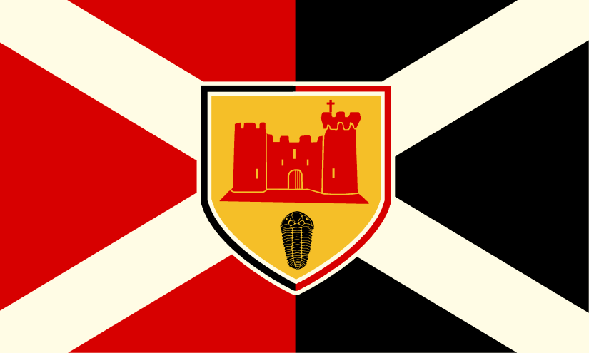
The flag is based on the coat-of-arms of the former Dudley County Borough which you can see here: https://www.heraldry-wiki.com/heraldrywiki/wiki/Dudley
The image is a representation of the Keep of Dudley Castle and the Dudley Bug (Calymene blumenbachii) – a 428 million year old trilobite discovered in the limestone quarries of the Wren’s Nest by 18th-century quarrymen.
ETTINGSHALL
Ettingshall was a village in the large ancient parish of Sedgley in the county of Staffordshire. In 1894 the parish of Sedgley was split in two and Etthingshall became part of the Coseley Urban District which also included the villages of Coseley and Bradley. Coseley UD was incorporated into Dudley in 1966.
The flag is based on the coat of arms of the Gibbons family who owned Ettingshall Hall in the 16th Century. I’ve added a pickaxe to represent the area’s mining history.
FINCHFIELD
Finchfield was historically in the ancient parish of Tettenhall in Staffordshire. In 1966 it was incorporated into Wolverhampton.
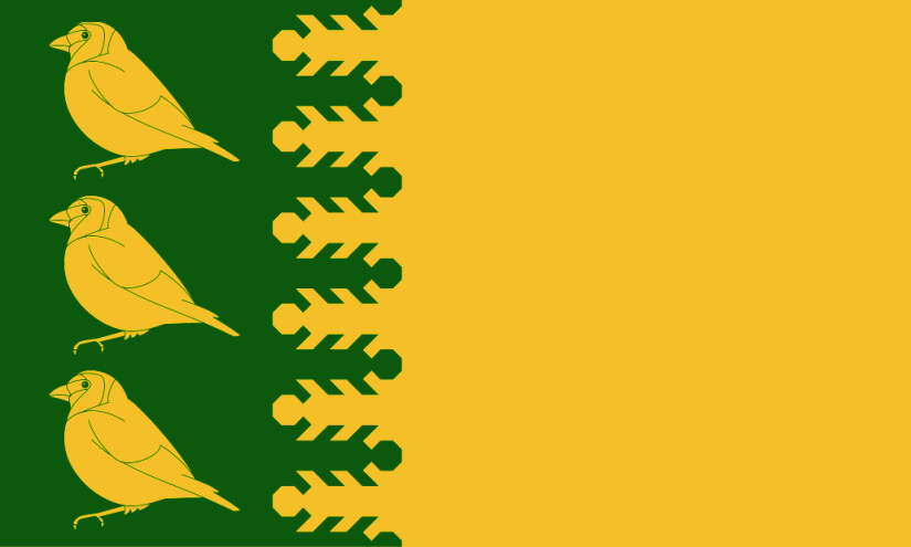
The Finchfield flag was designed by Children of Finchfield & Philip Tibbetts and was officially adopted in 2010. https://www.flaginstitute.org/wp/flags/finchfield-flag/
The goldfinches represent the birds that give the town its name. The yellow colour represents the traditional farmers fields of old and the green represents the modern parks and environment centre, as well as the colours of the local schools.
GORNAL
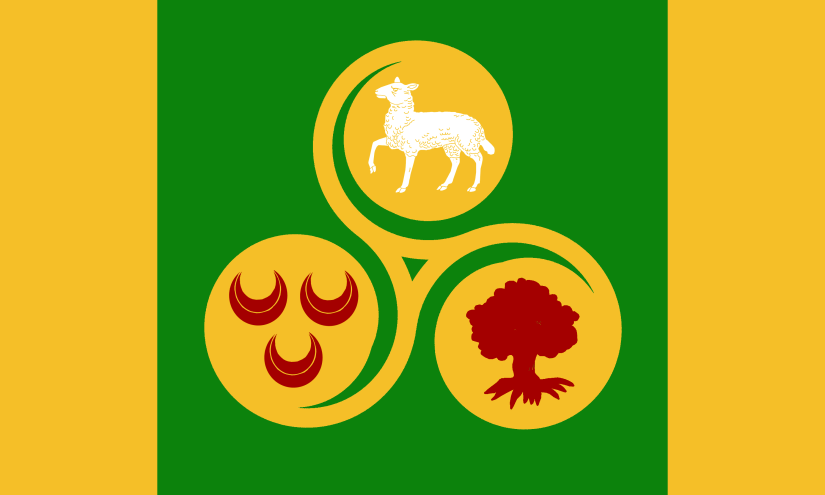
Gornal is made up of three villages – Lower Gornal, Upper Gornal and Gornalwood, in the large ancient parish of Sedgley in the county of Staffordshire. The parish was split in two in 1894 and the eastern section became Sedgley Urban District, which included the historic villages of Sedgley, Cotwall End, Gospel End, Upper Gornal, Lower Gornal and Woodsetton. In 1966 the bulk of the district was absorbed into the County Borough of Dudley.
The flag represents the three villages:
- Bottom left – Lower Gornal with the symbol based on the Fereday family coat of arms who were the builders of Ellowes Hall.
- Bottom right – Gornalwood (which was once wooded).
- Top – Upper Gornal, which was originally known as Sheepcotewall.
GREAT BARR

Great Barr was a township in the ancient parish of Aldridge in the county of Staffordshire. Aldridge became an Urban District in 1894. This merged with Brownhills in 1966 to form Aldridge-Brownhills UD, and then became part of the Metropolitan Borough of Walsall in 1974. Some parts of Great Barr also became part of Sandwell and Birmingham.
The flag is based on the coat of arms of the Scott Baronets of Great Barr who were based at Great Barr Hall.
GREAT BRIDGE
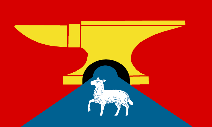
Great Bridge was a village in the ancient parish of West Bromwich in the county of Staffordshire. West Bromwich became a County Borough in 1966 and then was incorporated into Sandwell in 1974.
The river used to be known as Greet Brook. ‘Great (Greet) Bridge’ basically means there was a bridge over the river here (not necessarily a great one…). The flag includes a bridge, which is also an anvil to represent industry while the sheep represents the nearby Sheepwash Urban Park.
GROVE VALE
Grove Vale was historically part of the township of Great Barr in the ancient parish of Aldridge in the county of Staffordshire. It’s now part of Sandwell Metropolitan Borough.
The flag is based on the coat of arms of Bishop Asbury, the first American Methodist Bishop, whose cottage is located next to the Newton Road. The cottage is now a museum.
HALESOWEN

Halesowen was originally a large ancient parish in Worcestershire (additionally some parts of the parish were in Shropshire until 1844). Halesowen was incorporated in Dudley in 1974.
The flag is based on the coat-of-arms of the former Halesowen UDC, which you can see here: https://www.heraldry-wiki.com/heraldrywiki/wiki/Halesowen
The shield is composed of emblems representing the principal owners of the Manor of Hales. The red half of the lion represents Earl Roger of Montgomery and the green half, Robert Dudley, Earl of Leicester.
HAMSTEAD
Hamstead was originally part of the township of Perry Barr in the ancient parish of Handsworth in the county of Staffordshire. The area is now divided between Sandwell and Birmingham.
The white image on the flag depicts Hamstead Colliery, while the blue line represents the River Tame.
ILLEY
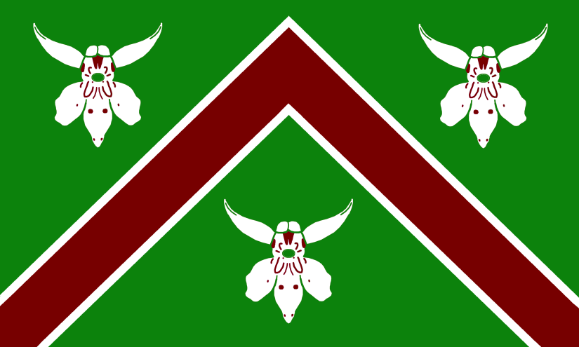
Illey was a township within the ancient parish of Halesowen in the county of Shropshire. Halesowen was incorporated in Dudley in 1974.
Illey was historically (and still is) important for its meadowland. The flag features the upwards chevron of the Illey family while the green colour and Common Spotted Orchids to represent the meadows.
KINGSWINFORD
Kingswinford was a large ancient parish in Staffordshire. It became part of the Brierley Hill Urban District in 1894 along with Brierley Hill, Quarry Bank, and Pensnett. In 1966 it was incorporated into Dudley Borough.
The Kingswinford flag was designed by Phoebe Cresswell and Maisie Cumming and was officially adopted by popular vote in 2011. https://www.flaginstitute.org/wp/flags/kingswinford-flag/
LANGLEY
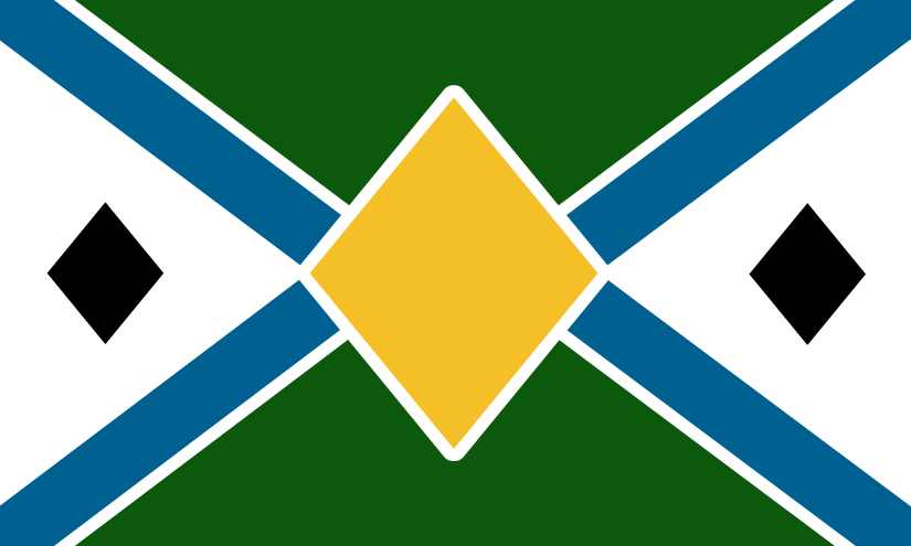
Langley (or Langley Green) was historically part of the township of Oldbury in the ancient parish of Halesowen in the county of Worcestershire. Oldbury (as well as the villages of Langley and Warley) became an Urban District in 1894. Oldbury became a Municipal Borough in 1935. In 1966 it became part of the new Worcestershire county borough of Warley, which itself became part of the metropolitan borough of Sandwell in 1974.
The blue lines on the flag represent the four canals – Titford Canal, Titford Feeder, Titford Branch and Causeway Green Branch, while the black lozenges represent coal. The flag colours echo those of the Oldbury flag.
LYE

Lye was a township within the ancient parish of Oldswinford in the county of Worcestershire. In 1897 Lye became part of the Lye and Wollescote Urban District. In 1932 it became part of Stourbridge before amalgamating with Dudley in 1972.
The flag colours are based on those of Lye Town FC, while the fire, anvil and horseshoe represent the area’s industrial heritage.
NETHERTON
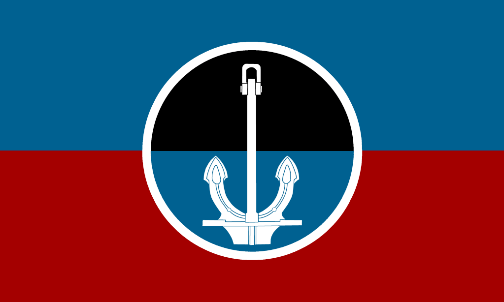
Netherton was a village within the ancient parish of Dudley in the county of Worcestershire.
The flag depicts the anchor of the Titanic, which was originally cast by Hingley’s of Netherton and in 1911 was hauled to the old Dudley train station by shire horses to make its onward journey to Belfast.
The circle represents Netherton Tunnel, which was the last canal tunnel to be built in Britain during the Canal Age.
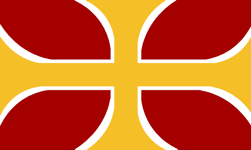
OLDBURY
Oldbury was a township in the ancient parish of Halesowen in Worcestershire. In 1894 it became an Urban District Council, and then a Municipal Borough in 1935. In 1966 it became part of the new Worcestershire county borough of Warley, which itself became part of the metropolitan borough of Sandwell in 1974
The flag is based on the coat-of-arms of the former Oldbury UDC, which you can see here: https://www.heraldry-wiki.com/heraldrywiki/wiki/Oldbury
The crosses refer to the Saxons. The fact that Oldbury “Ealdanbyrig” was so called by the Saxons indicated that they found an ancient British settlement here.
OXLEY
Oxley was a manor in the ancient parish of Bushbury in the county of Staffordshire. Bushbury became part of Wolverhampton County Borough in 1927.
The colours of the flag are taken from the coat of arms of the Leveson family who used to own the manor, while the pattern is taken from an artist rendition of what Oxley Manor House looked like.
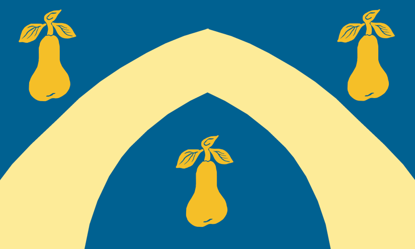
PEDMORE
Pedmore was an ancient parish in the county of Worcestershire. It was incorporated into Stourbridge in 1932 before amalgamating with Dudley in 1972.
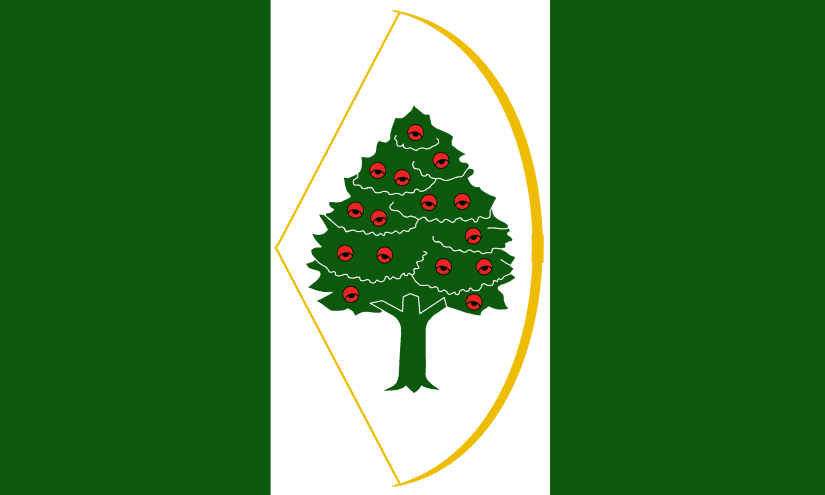
The flag is based on the badge and colours of Pedmore Cricket Club. The pears represent the area’s historic links with Worcestershire.
PELSALL

Pelsall was a township in the ancient parish of Wolverhampton in Staffordshire.
I couldn’t find a town coat-of-arms for Pelsall so this flag was created to reflect local landmarks – the white bridge represents Pelsall Works Canal Bridge, while the pointing hand represents the fingerpost. The colour green represents the commons, the blue represents the canal and the black represents the coal seam and areas historic coal-mining industry.
PENN
Upper Penn was a township in the ancient parish of Penn in the county of Staffordshire. Upper Penn became progressively absorbed into Wolverhampton, which became a County Borough in 1930 and a Metropolitan borough in 1974.
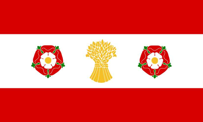
The flag is based on the Sparrow family coat of arms as they used to own the manor, with the addition of a sheaf of wheat to represent the area’s agricultural past.
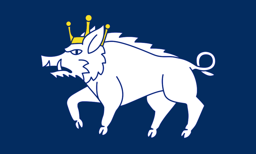
PENSNETT
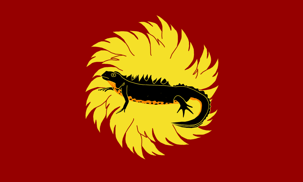
Pensnett was a hamlet in the large ancient parish of Kingswinford in Staffordshire. It became part of the Brierley Hill Urban District in 1894 along with Brierley Hill, Quarry Bank, and Kingswinford. In 1966 it was incorporated into Dudley Borough.
The flag uses the salamander in flames image as this is the traditional emblem of the smith, which is also represented on the current coat of arms of Dudley MBC. The salamander in this case has been replaced with a Great Crested Newt as the nearby Fens Pools is home to a nationally significant population of these rare creatures.
PHEASEY

Pheasey was part of the township of Great Barr in the ancient parish of Aldridge in Staffordshire. From 1894 it was part of Aldridge Urban District and from 1966 it was part of the merged Aldridge-Brownhills Urban District. Pheasey became part of Walsall in 1974.
The flag is based on the colours of the coat of arms of the Scott Family of Great Barr as they owned most of the area with the addition of green to represent the green belt. The symbol is based on this logo of the Pheasey Community Association.
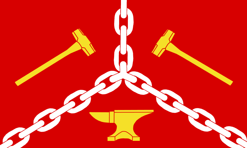
QUARRY BANK
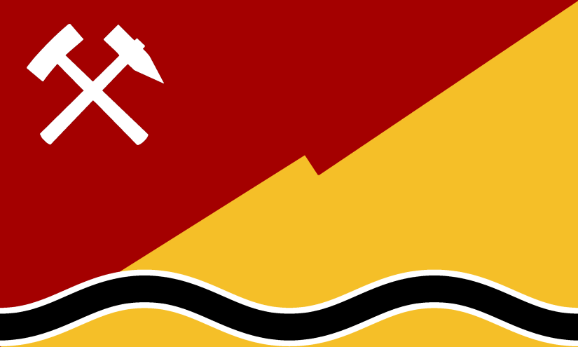
Quarry Bank was a village in the ancient parish of Kingswinford in the county of Staffordshire. In 1934 Quarry Bank became part of the Brierley Hill Urban District. In 1966 it was incorporated into the County Borough of Dudley.
The slope on the flag represents the steep high street, the hammers represent quarrying and the black line represents the Black Brook.
ROWLEY REGIS
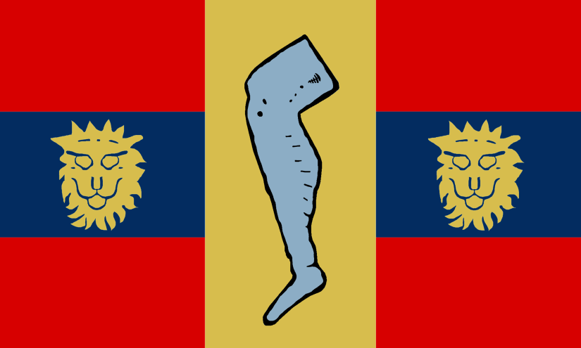
Rowley Regis was an ancient parish in the county of Staffordshire. It became an Urban District Council in 1894 and Municipal Borough in 1933. In 1966 it became part of the new Worcestershire county borough of Warley, which itself became part of the metropolitan borough of Sandwell in 1974.
The flag is based on the coat-of-arms of the former Rowley Regis council which you can see here: https://www.heraldry-wiki.com/heraldrywiki/wiki/Rowley_Regis
The lions’ faces indicate that Rowley Regis was formerly part of the royal domain. The leg is from the heraldry of the Haden family.
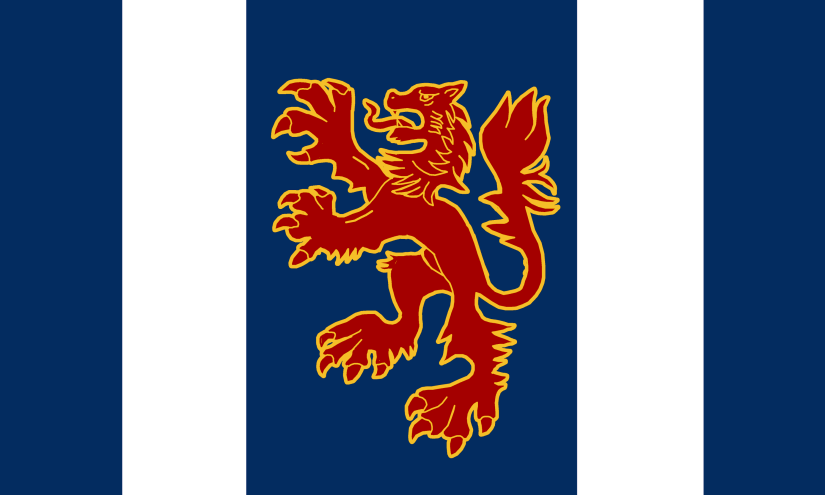
RUSHALL
Rushall was an ancient parish in the county of Staffordshire. From 1894 it was a parish in the Walsall Rural District. In 1934 most of the rural district became Aldridge Urban District, taking its name from the largest of the parishes within the district. In 1966 Aldridge Urban District joined with the neighbouring Brownhills Urban District to become Aldridge-Brownhills Urban District. In 1974 this became part of Walsall Metropolitan Borough.
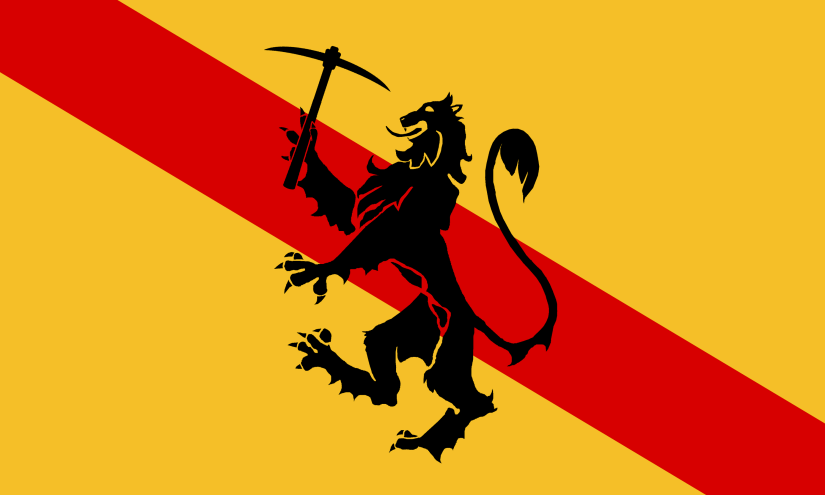
The rampant lion image on the flag is from the coat-of-arms of John Harpur, while the orange colour is from Rushall Olympic FC.
SEDGLEY
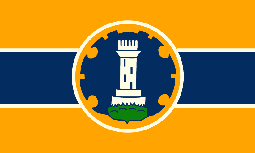
Sedgley was an ancient parish in the county of Staffordshire. The parish was split in two in 1894 and the eastern section became Sedgley Urban District, which included the historic villages of Sedgley, Cotwall End, Gospel End, Upper Gornal, Lower Gornal and Woodsetton. In 1966 the bulk of the district was absorbed into the County Borough of Dudley.
The flag is based on the badge of the former Sedgley Urban District Council https://www.crwflags.com/fotw/flags/gb-e-sdg.html
The image shows the tower at Sedgley beacon.
SHELFIELD
Shelfield was a village in the ‘Foreign’ of the ancient parish of Walsall in the County of Staffordshire.
The flag is based on the coat of arms of the Brawn family who owned Shelfield Lodge.
SMETHWICK
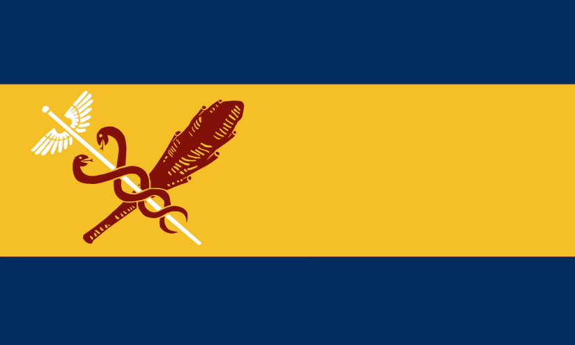
Smethwick was originally a township within the ancient parish of Harborne in Staffordshire.
It became an urban district in 1894, a borough in 1899, and a county borough in 1907. The Warley Woods portion of Oldbury, which was added to Smethwick in 1928. In 1966 it became part of the new county borough of Warley, which itself became part of the metropolitan borough of Sandwell in 1974.
The flag is based on the coat-of-arms of the former Smethwick Urban District Council, which can be seen here: https://www.heraldry-wiki.com/heraldrywiki/wiki/Smethwick
The image shows the The caduceus of Mercury/Staff of Hermes – it is a short staff entwined by two serpents and surmounted by wings. This is to represent commerce. The club is from the arms of industrialist James Watt.
The colours are taken from an alternative version of the crest.
STOURBRIDGE
Stourbridge was a township in the ancient parish of Oldswinford in the county of Worcestershire.
In 1972 Stourbridge was amalgamated into the Metropolitan Borough of Dudley.
The flag is based on the coat-of-arms of the former Stourbridge UDC which can be seen here: https://www.heraldry-wiki.com/heraldrywiki/wiki/Stourbridge
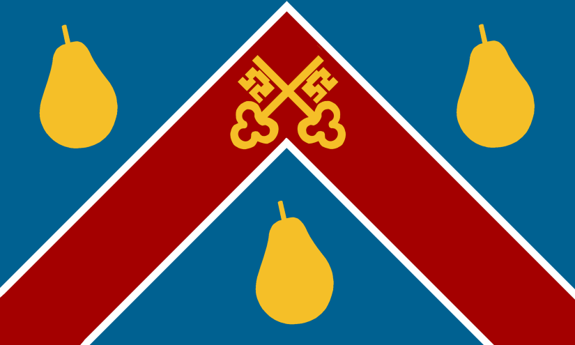
The pears represent Worcestershire – pears are a symbol reported to have been used by Worcestershire units at the Battle of Agincourt – while the bridge represents the origins of the town name.
STREETLY
Streetly was part of the township of Great Barr in the ancient parish of Aldridge in Staffordshire. From 1894 it was part of Aldridge Urban District and from 1966 it was part of the merged Aldridge-Brownhills Urban District. Pheasey became part of Walsall in 1974.
Streetly is named after the Roman road (Ickneild or Rykneild Street) that passes through Sutton Park. The diagonal line represents the road, while the green represents Sutton Park and the Greenbelt.
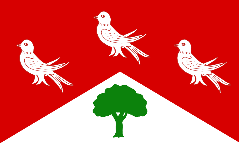
TETTENHALL
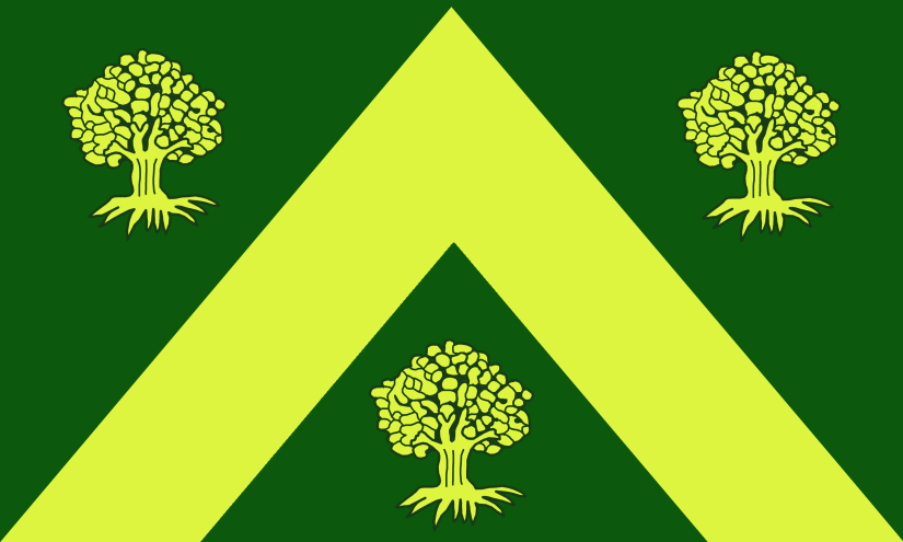
Tettenhall was a large ancient parish in the county of Staffordshire. It became Tettenhall Urban District in 1894 and then in 1966 it was incorporated into Wolverhampton Borough.
The flag is based on the coat-of-arms of the former Tettenhall UDC which can be seen here: https://www.heraldry-wiki.com/heraldrywiki/wiki/Tettenhall
The trees refer to the three royal forests of Kinver, Brewood and Cannock, which met at Tettenhall.
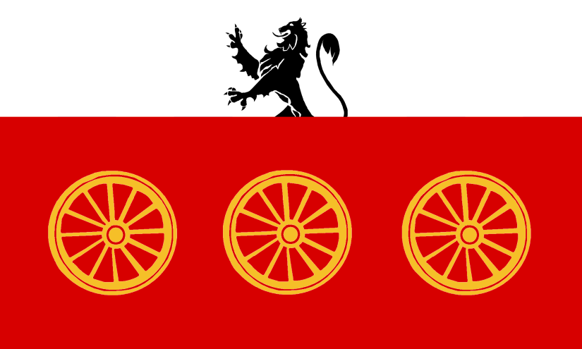
TIPTON
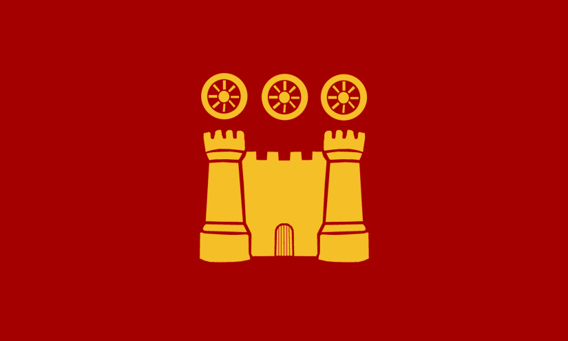
Tipton was a historic parish in Staffordshire. It became an Urban District in 1894, a Municipal Borough in 1938 before becoming part of West Bromwich County Borough in 1966 and then Sandwell in 1974.
The flag is based on the coat-of-arms of the former Tipton UDC which can be seen here: https://www.heraldry-wiki.com/heraldrywiki/wiki/Tipton
The gold castle symbolizes the municipality and can also be interpreted as an allusion to nearby Dudley Castle. The three gold wheels symbolise industry.
TIVIDALE
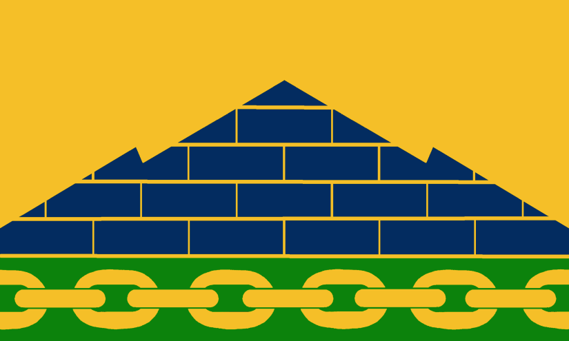
Tividale was part of the ancient parish of Rowley Regis in the county of Staffordshire. Rowley Regis became an Urban District Council in 1894 and Municipal Borough in 1933. In 1966 it became part of the new Worcestershire county borough of Warley, which itself became part of the metropolitan borough of Sandwell in 1974.
The hill on the flag represents the Rowley Hills, while the blue bricks represent the Rowley Rag stone. The chain represents industry and also the nearby Rattlechain Lagoon.
WALL HEATH
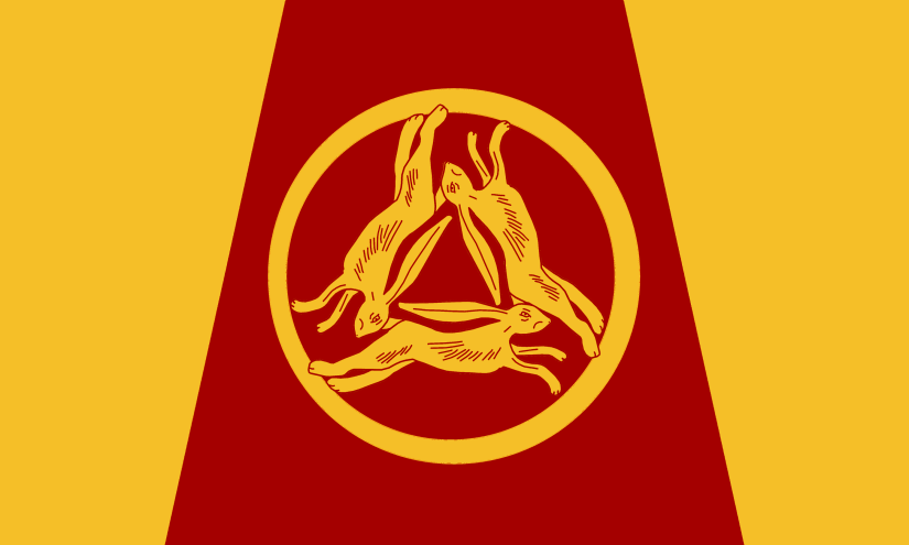
Wall Heath was part of the ancient parish of Kingswinford in the county of Staffordshire. In 1934 Kingswinford became part of the Brierley Hill Urban District. In 1966 it was incorporated into the County Borough of Dudley.
The flag features heres, which are creatures associated with heaths and the design is taken from a plaque in the heritage garden. The red represents the old windmill tower.
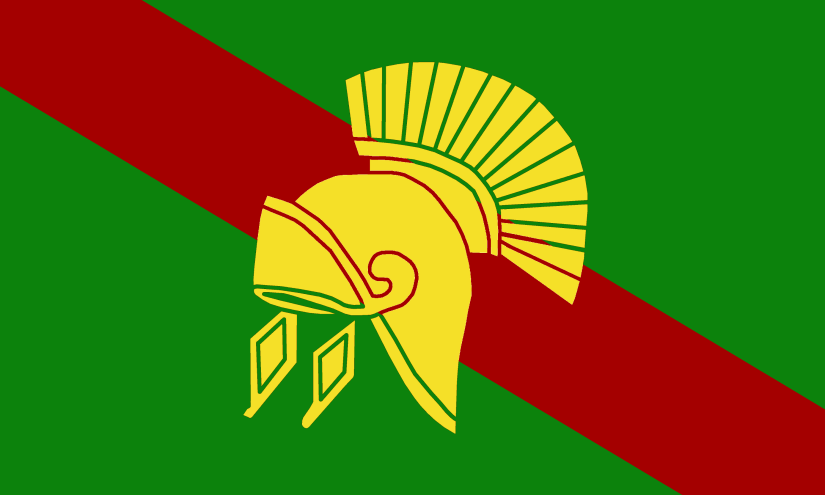
WALSALL
Walsall was an ancient parish in the county of Staffordshire.
The flag is based on the unofficial coat-of-arms of Walsall Council which can be seen here: https://www.heraldry-wiki.com/heraldrywiki/wiki/Walsall
The colours are taken from the Royal Arms. The bear and staff symbol is associated with the Earls of Warwick, who were previously lords of the manor. The Stafford Knot is to symbolise Staffordshire.
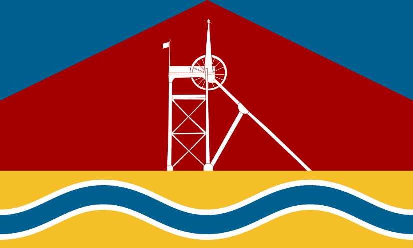
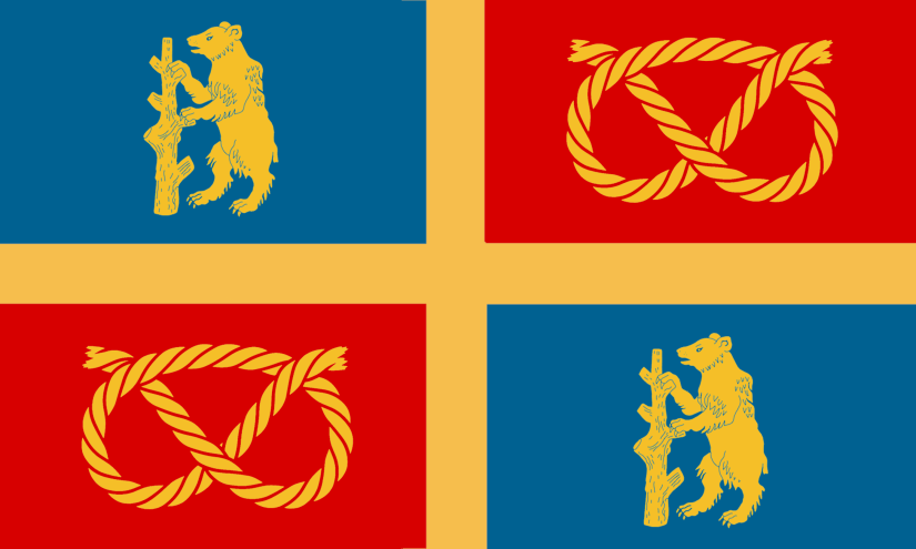
WALSALL WOOD
Walsall Wood used to be a township in the Walsall Foreign – a detached part of the ancient parish of Walsall in Staffordshire.
The flag is based on the Walsall Flag (above) but with different colours and images taken from the crest of Walsall Wood FC. The winding gear of a coal mine symbolises the area’s coalmining tradition, while the oak trees represent both the name of the place and also the Shire Oak
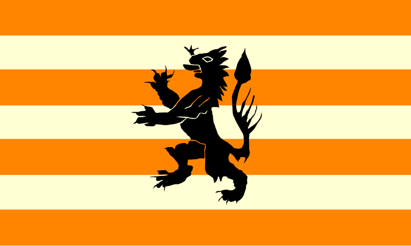
WARLEY
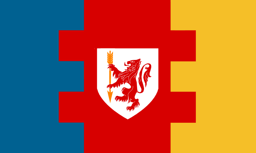
Warley was a township in the ancient parish of Halesowen. Until 1844 Warley was split between two counties with Warley Wigorn being in Worcestershire, while Warley Salop was an exclave of Shropshire. In 1894 Warley became part of Oldbury Urban District. In 1966 it became part of the new Worcestershire county borough of Warley, which itself became part of the metropolitan borough of Sandwell in 1974
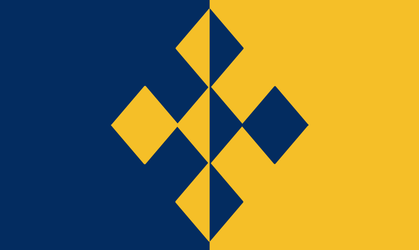
The flag features a lion, which is taken from the crest of Warley RFC and the former Warley Council. The lion holds an arrow from the arms of Matthew Boulton. The Blue represents Warley Wigorn (the bits in Worcestershire) and the Yellow Represents Warley Salop (the bits in Shropshire.
WEDNESBURY

Wednesbury was an ancient parish in the county of Staffordshire. It became a part of West Bromwich County Borough in 1966 and then Sandwell in 1974.
The flag is based on the coat-of-arms of the former Wednesbury UDC which can be seen here:
https://www.heraldry-wiki.com/heraldrywiki/wiki/Wednesbury
The black diamonds represent coal mining and the symbol of Mars, used by alchemists to denote iron, represents the iron and steel industries. Mars is also the Roman counterpart of Woden, after whom Wednesbury is named.
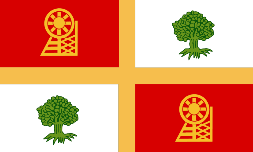
WEDNESFIELD
Wednesfield was a township in the large ancient parish of Wolverhampton in Staffordshire. In 1966 it was incorporated into Wolverhampton.
The flag is based on the coat-of-arms of the former Wednesfield UDC which can be seen here:
https://www.heraldry-wiki.com/heraldrywiki/wiki/Wednesfield
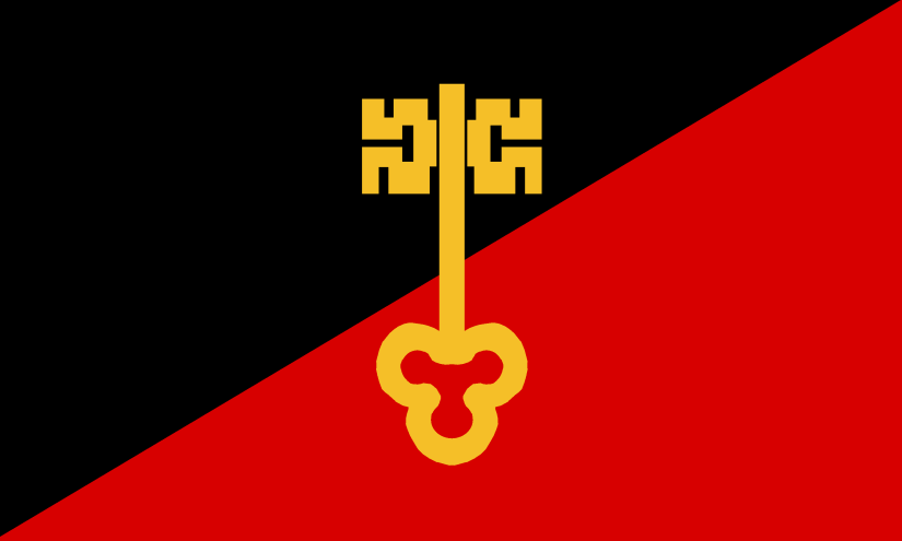
The red colour is thought to represent the bloody nature of the battlefield after the victory of the Saxons, led by Edward the Elder, over the Danes in 910 AD.
The golden double-warded key symbolise the lock-making industry.
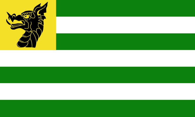
WEST BROMWICH
West Bromwich was an ancient parish in the county of Staffordshire. It became a County Borough in 1966 and then was incorporated into Sandwell in 1974.
The flag is based on the coat-of-arms of the former West Bromwich UDC which can be seen here:
https://www.heraldry-wiki.com/heraldrywiki/wiki/West_Bromwich
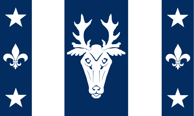
The stag emblem is derived from the heraldry of the Earls of Dartmouth, who were formerly seated at Sandwell Hall.
WIGHTWICK
Wightwick was a township in the ancient parish of Tettenhall in the county of Staffordshire. It became Tettenhall Urban District in 1894 and then in 1966 it was incorporated into Wolverhampton Borough.
The flag is based on the Coat of Arms of the Wightwick Family.
WILLENHALL
Willenhall was a township in the large ancient parish of Wolverhampton in Staffordshire. In 1966 it was incorporated into Wolverhampton.
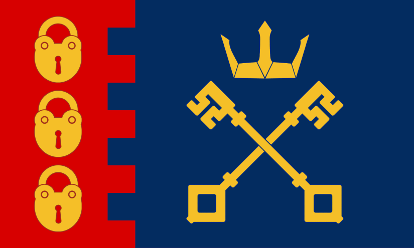
The Willenhall flag was designed by Adam Leonard and was officially adopted by popular vote in 2014. https://www.flaginstitute.org/wp/flags/willenhall-flag/
The flag features several references to the town’s traditional industry of lock and key-making. The colours of blue, red and gold were drawn from the arms of the former Willenhall Urban District Council.
WOLLASTON
Wollaston was a township in the ancient parish of Oldswinford in the county of Worcestershire.
Wollaston became part of Stourbridge and in 1972 Stourbridge was amalgamated into the Metropolitan Borough of Dudley.
The flag is based on the coat of arms of William Perrott who was lord of the manor in the 16th Century. The wheels represent the Stourbridge Lion train, which was built in Wollaston – the first steam train to be operated in the USA.
WOLLESCOTE
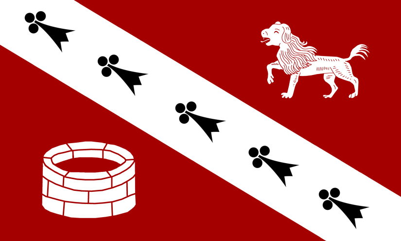
Wollesote was a township within the ancient parish of Oldswinford in the county of Worcestershire. In 1897 Wollesote became part of the Lye and Wollescote Urban District. In 1932 it became part of Stourbridge before amalgamating with Dudley in 1972.
The flag is based on the colours of the Millward family who used to own Wollescote Hall. In 1643 Prince Rupert used the hall as his base and, after his loss at the Battle of Stourbridge Common, the Prince escaped to the Hall where Thomas hid him in an old well. The dog is ‘Boy’ – Prince Rupert’s famous white hunting poodle.
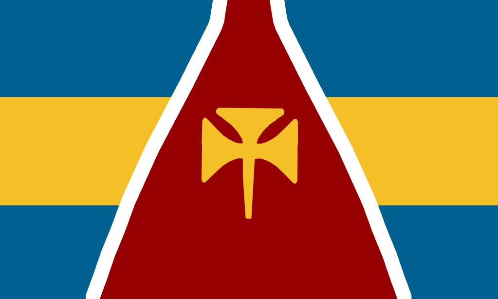
WOLVERHAMPTON
Wolverhampton was a large ancient parish in Staffordshire.
The flag is based on the coat-of-arms of Wolverhampton City Council which can be seen here:
https://www.heraldry-wiki.com/heraldrywiki/wiki/Wolverhampton
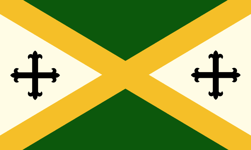
Wolverhampton was founded in 985 AD by St. Wulfrun, sister of King Edgar, and she is represented by the cross.
WORDSLEY
Wordsley was part of the ancient parish of Kingswinford in the county of Staffordshire. In 1934 Kingswinford became part of the Brierley Hill Urban District. In 1966 it was incorporated into the County Borough of Dudley.
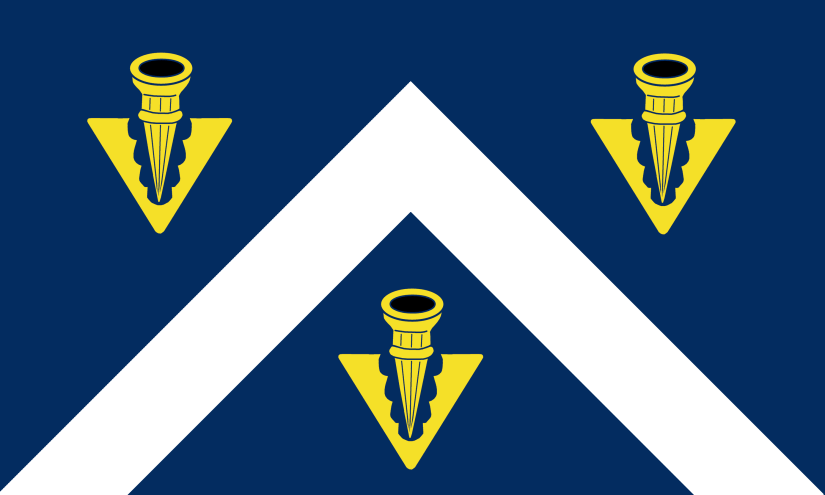
The flag features the iconic Redhouse Glass cone plus a trefoil and blue and yellow colours taken from the coat of arms of the Holt family who built Wordsley Manor in 1757.
YEW TREE
Yew Tree was once part of the ancient parish of Wednesbury in the county of Staffordshire.
The flag features a yew tree, while the bow represents the Archer pub (also bows are made from Yew wood).

They’re great but if you’re doing the actual Black Country where is Quarry Bank?
LikeLiked by 1 person
I’ve now added Quarry Bank 🙂
LikeLike
I understand that the image of the Martlet is taken from the coat of arms however I feel someone has to point out that the mythical bird without feet does appear to have feet.
LikeLiked by 1 person
Yes, I thought that…
LikeLike